snow

Cold and Snow: January 2014 Summary

February 1, 2014 - 12:00am -- Dave Robinson

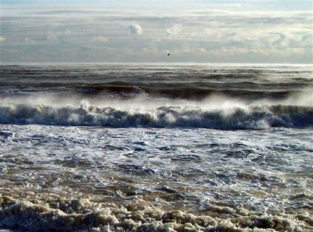
Sea smoke photo

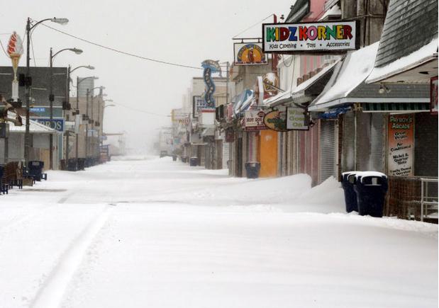
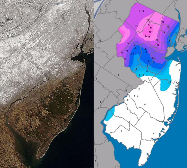
The year began where 2013 left off, with the jet stream in an amplified, progressive pattern that resulted in frequent, pronounced fluctuations in temperature and multiple precipitation events. By late month, the pattern slowed, but remained amplified, locking NJ into over a week of bitter cold conditions. The statewide average temperature for January was 26.1°, which is 5.1° below the 1981-2010 average and ranks as the 17th coldest since 1895 (120 years). It was the coldest January since 2004. Precipitation in the form of rain, freezing rain, and melted snowfall averaged 3.09". This is 0.39" below normal and ranks as the 57th driest. Snowfall averaged 17.7", which is 10.6" above normal and ranks at the 8th snowiest January on record.

Winter 2013/14: Round One

December 18, 2013 - 12:00am -- Dave Robinson

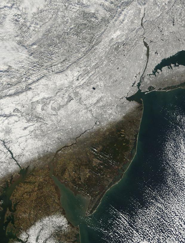
NASA MODIS satellite imagery

Following a mild six days of December, when a number of locations approached or exceeded the 50° mark for highs, the bottom fell out of the thermometer. From the 7th through the 18th most of the northern half of the state failed to reach 40°, while southern locations only saw milder highs on the 14th, early on the 15th, and on the 17th. This includes the first sub-zero observation of the winter, when -1° was reached at Walpack (Sussex County) on the 17th and again on the 18th.

Pages

Subscribe to RSS - snow