News

March in February, & Another Mild Season: February and Winter 2016-2017 Recap

March 6, 2017 - 4:26pm -- Dave Robinson

Crocuses photo

On many an afternoon this past February, one had to be reminded that, according to the calendar, we were in the midst of a winter month. While there was a modest snowstorm for central and northern areas on the 9th, there were 11 days, including the day prior to the storm, when temperatures equaled or exceeded 60° at one or more New Jersey locations. The average statewide monthly temperature of 40.1° made February 2017 NJ’s mildest since records commenced in 1895. The average was 6.6° above the 1981–2010 mean and 1.0° above the previous record in 1998. In fact, the 2017 average was only 0.7° lower than the mean for March, and would rank as the 54th mildest (69th coolest) March on record. February precipitation (rain and melted snowfall) averaged 1.70”. This was 1.10” below the 30-year mean and ranks as the 11th driest on record. Only the storm on the 9th delivered more than an inch of rain or melted snow to some observing stations around the state.

The Weather Would Not Sit Still: January 2017 Recap

February 6, 2017 - 10:51pm -- Dave Robinson

Rough surf photo

A progressive weather pattern dating back to last fall continued to hold serve across the eastern US in January. This resulted in temperatures swinging between mild and cold levels and unsettled weather systems moving through often enough to bring precipitation levels close to average but, with one notable exception, not staying around too long to wreak havoc. Overall, it was a mild month, with a statewide average temperature of 36.2°, which is 5.5° above the 1981–2010 mean. This ranks as the 12th mildest January since 1895. It is interesting to note that while 10 of New Jersey’s warmest 15 years have occurred since 2000 and 14 of 15 since 1990, Januaries have not as often kicked off these warm years as much as one might imagine. Only 5 of the 15 mildest Januaries over the 123 year record have occurred since 2000 and just 8 of the 15 mildest since 1990.

A Rather Quiet End to the Year: December 2016 Recap and Annual Summary, including the Top 10 Events of 2016

January 4, 2017 - 3:40pm -- Dave Robinson

Snow photo

The atmosphere was in a progressive mode throughout December, which explains why no particular weather feature lingered in NJ or elsewhere across North America for too long. The seemingly day-to-day changes resulted in the statewide mean temperature of 36.4° being just 1.2° above the 1981–2010 normal. This ranks as the 28th mildest December since statewide records commenced in 1895, a far cry from last year’s record mild conditions. Despite there being seven precipitation events, one of which was mainly a carry over from November 30th, the rapid movement of these systems meant that none deposited prodigious totals in NJ. Thus 3.37” fell, which is 0.48” below average. This ranks as the 55th driest December. Monthly statewide snowfall averaged 2.0”. This is 2.1” below the 1981–2010 average and ranks 45th least snowy. The northern seven counties averaged 5.5”, the central six counties averaged 1.8”, and the eight southern counties 0.2”, all below average.

Gradual Seasonal Transition: November 2016 and Fall 2016 Recaps

December 8, 2016 - 1:51pm -- Dave Robinson

Snow photo

Much like the entire fall season, the transition into the cold half of the year was in no great hurry in November. Leaves dropped from ten days to two weeks later than normal, but eventually by the 28th the temperature fell to the freezing mark at West Cape May (Cape May County) and Newark Airport (Essex), these being the last locations in the state to experience their first freeze. A major exception to the slowly-transitioning pattern was the moderate high-elevation snowfall the weekend before Thanksgiving.

Drought conditions continued to be worrisome across the state, even spreading southwards. However, back-to-back heavy rainfall events on the 29th and 30th provided some replenishment to thirsty soils and began adding water to surface reservoirs across central and northern counties. It will be interesting to see if the atmospheric pattern change that delivered the late-month soakings is fleeting or will be longer lasting. Monthly precipitation (rain and melted snow) averaged 2.48” across NJ. This is 1.13” below the 1981–2010 average and is the 43rd driest November since 1895. It is worth noting that most of the National Weather Service stations that go into determining this average report in the morning. Thus the rain that fell later on the 30th is not factored into the monthly average; rather, it will be part of the December total. Snowfall averaged 0.4” for NJ but broken into regions amounted to 1.3” in the north, 0.1” central, and 0” south. The statewide total is average for Novembers between 1981–2010 but 0.7” below the 1894–present average.

A Climatological Potpourri: October 2016 Recap

November 9, 2016 - 2:21pm -- Dave Robinson

oradell reservoir

Season transitional months are often known for the wide swings in daily and weekly weather conditions. October 2016 did not disappoint when it came to exhibiting such variability. Moisture associated with a weakening hurricane to the south contributed to south Jersey’s heaviest rain event. A modest late-month storm brought the first frozen precipitation of the season to northern counties. Record warmth for so late in the season was part of a dry mid-month week. Halloween eve seeing the temperature touch 80° in some locations before a thunder-strewn frontal passage dropped temperatures to more seasonal temperatures for trick or treating.

Summer is Slow to End: September 2016 Recap

October 5, 2016 - 4:25pm -- Dave Robinson

Sunrise photo

Summer warmth continued into September, only beginning to relinquish its grip on the Garden State during the last week of the month. The average statewide monthly temperature of 70.1° was 4.3° above the 1981–2010 mean. This ranks as the 4th warmest September going back to 1895, with five of the eight warmest Septembers occurring since 2005. Seven of the most recent 13 months have ranked in the top 10 for warmth in their respective months.

Monthly rainfall averaged 3.36” across the state, which is 0.69” below average and ranks as the 61st driest of the past 122 Septembers. However, as discussed below, the average this month does not show the wide disparity of rainfall between the northern and southern parts of the state. While concerns for persistent dry conditions continued increasing across most of NJ through mid September, two soakings in the south alleviated worries in this region. Meanwhile, only one event of note produced totals exceeding an inch in much of the north, thus this region remains much too dry. As of the 27th, a good deal of north and central NJ was considered in moderate drought, with the remainder deemed abnormally dry according to the US Drought Monitor. North Jersey remained under a NJ Department of Environmental Protection “drought watch."

Top Ten August for Heat and Dryness, Yet Another Hot Summer in the 2000s: August and Summer 2016 Recaps

September 6, 2016 - 10:40pm -- Dave Robinson

Beach photo

While above-average temperatures persisted from July into August, the precipitation regime did a 180° reversal between months. A 9th warmest July transitioned to a 2nd warmest August across the Garden State, based on records extending back to 1895. The 14th wettest July proved to be a hydrological blessing following the 20th driest June and preceding the 9th driest August. While August ended with most of New Jersey designated as “abnormally dry” and the northeast in “moderate drought” according to the US Drought Monitor, and north Jersey remained under a NJ Department of Environmental Protection “drought watch,” water supplies would have been in far worse shape come late summer had July been dry.

A Return to Hot Julys After a Two-Year Respite; Awfully Wet Too: July 2016 Recap

August 3, 2016 - 5:01pm -- Dave Robinson

Flooding photo

The second half of the 2016 NJ weather and climate year began with plenty to talk about. Maximum temperatures were 90° or higher somewhere in the state on 20 afternoons. This, along with many warm nights, helped boost the mean monthly temperature into the top 10, based on statewide records back to 1895. Yet, remarkably, this was only NJ’s 5th warmest July in the past 11 years. The 77.2° mean was 2.2° above the 1981–2010 average.

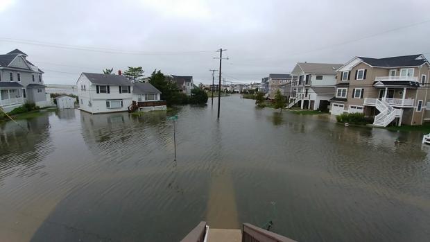
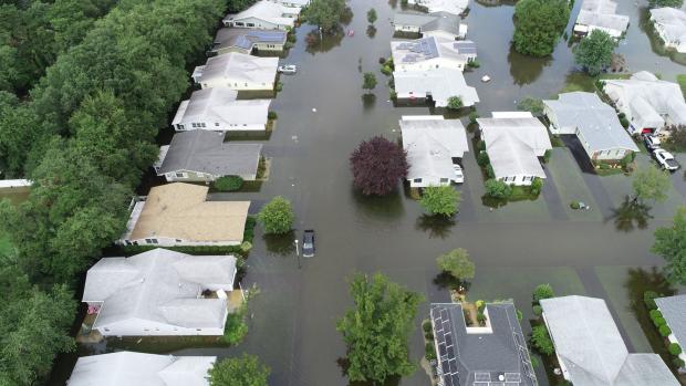
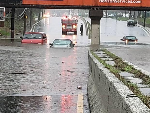
On 15 July days an inch or more of rain fell somewhere in NJ. This included eight days with greater than 2” in spots and four days where a few locations exceeded 4”. Statewide, the average rainfall was 6.85”. This was 2.33” above average and ranks as the 14th wettest July since 1895. It was the wettest July since 2004, and the 4th wettest in the past 41 years. The northern half of the state (Mercer/Somerset/Union northward) averaged 7.27” (+2.49”, 14th wettest), while the southern region averaged 6.77” (+2.38”, 12th wettest). This all came in a month where the northern half of the state remained classified as being in moderate drought (D1) on the US Drought Monitor, with about half of south Jersey considered abnormally dry (D0). Also, on July 26th the NJ Department of Environmental Protection placed the northern half of the state in a drought watch. These actions were the result of notable rainfall deficits dating back to the early spring, with the warmth of the month exasperating low soil moisture, stream flow, ground water, and reservoir conditions. Clearly, the late-month heavy rainfall in a good portion of the state warrants a re-evaluation of drought status as NJ heads into August.

Rather Dry, but Still Some Storms: June 2016 Recap

July 6, 2016 - 1:58pm -- Dave Robinson

Tipped helicopter

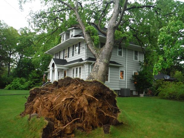
Despite some damaging storms impacting portions of New Jersey on several days and some localized deluges near month’s end, June rainfall came in well below average. The statewide average of 2.36” was 1.66” below the 1981–2010 average. This ranks as the 20th driest June since 1895. Northern and central counties were generally drier than those to the south. At month’s end, the counties from Hunterdon, Somerset, and northern Middlesex northward were classified as being in “moderate drought,” the D1 category on the US Drought Monitor. The counties to the south, through Ocean and Burlington, were in the Monitor’s “abnormally dry” D0 category. June stream flow, ground water, and precipitation levels were all well below average, while reservoir capacities in the north began to dip below average near the end of the month.

Temperatures began on the cool side, but the second half of the month was warm enough to bring the statewide average June temperature to 70.6°, which was 0.5° above average. This ranks as the 30th mildest June on record. There was one minimal heat wave at some inland lower-elevation locations, where temperatures climbed to 90° or higher from the 19th–22nd. However, no location exceeded 93° this month. The dry conditions helped to rid the atmosphere of the previous day’s warmth during the nighttime hours, thus temperatures of 45° or lower were observed in spots on seven mornings.

A Tale of Multiple Seasons Within a Month and an Almost Backward Spring: May and Spring 2016 Recaps

June 7, 2016 - 4:54pm -- Dave Robinson

May 15 graupel photo

May had many weather faces. Cool, damp weeks to start things off, a blustery mid-month day with some frozen precipitation, a week of summer heat, and an early Memorial Day deluge up the New Jersey Turnpike corridor. When all was summed and averaged, the mean monthly statewide temperature came in at 60.0°. This was 0.8° below normal and ranked as the 55th coolest of the past 122 Mays. Precipitation averaged 5.01”, which is 1.01” above average and 23rd wettest.

Rain fell on a number of May days across NJ, keeping vegetation green and fire danger down. It was most plentiful in the southern half of the state, where Mount Laurel Township (Burlington County) totaled 7.74”. This was followed by Mount Ephraim (Camden) with 7.68”, Washington Township (Gloucester) 7.54”, Salem (Salem) 7.41”, Cinnaminson (Burlington) 7.02”, and Estell Manor (Atlantic) and Merchantville (Camden) each with 7.00”. The northwest corner had the least rainfall in May, with just 3.01” in Andover (Sussex) and North Arlington (Bergen), along with Mount Olive (Morris) at 3.04”, Hackettstown (Warren) 3.05”, and Franklin (Sussex) and Wantage (Sussex) each with 3.06”.

Pages

Subscribe to RSS - News