Winter

For Second Consecutive Year, Winter is Slow to Relinquish Its Grip: March 2015 Recap

April 6, 2015 - 5:25pm -- Dave Robinson

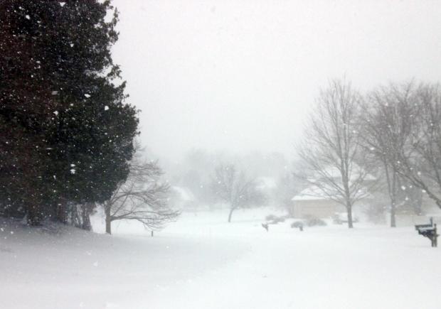
Snow on March 5

For the second consecutive year, March served as a meteorological exclamation point on an active cold and snowy season. As in 2013/14, this season had below-average November temperatures, milder-than-average December readings, and below-average January, February, and March tallies. The March temperature this year averaged 35.8°, which is 5.3° below normal and ranks as the 14th coldest since 1895.

This was also the snowiest March statewide and in central NJ since 1993. The northern counties averaged 13.6" (which is 7.5" above normal), the central region was at 14.9" (+10.0"), and the southern counties 8.6" (+5.6"). The state as a whole averaged 11.5" (+7.2"), which is the 13th snowiest March on record. For the season through March snowfall statewide has averaged 34.5" (+8.4"), with the north 50.5" (+15.8"), central 41.4" (+14.4"), and south 22.3" (+2.3"). This is the northern division's first back-to-back 50"+ seasons since the winters of 1903/04 and 1904/05.

March rain and melted snow accumulated to a statewide average of 4.95". This is 0.72" above normal and ranks as the 32nd wettest.

The New Jersey Snow Season: A Mid-February Report Card

February 15, 2015 - 5:47pm -- Dave Robinson

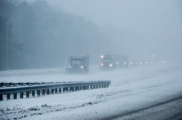
Snow plowing photo

As New Jerseyans shiver through a second month of below-average temperatures and a second consecutive colder-than-average winter, it is worth seeing how the state is doing in the snowfall department this season. The brief answer is twofold: first, nowhere is it nearly as snowy as last winter, and second, this year is a tale of a state with a split snow personality.

By this time last winter, folks were talking about challenging the 1995-96 winter for top snowfall honors dating all the way back to 1895. As it turned out, the bulk of winter snow had fallen north of Interstate 195 by mid to late February, while south Jersey experienced a snowy March. Statewide, the 2013-14 winter snowfall averaged 54.3”, which was 28.2” above normal and ranked as the 7th snowiest on record. It was the 4th snowiest on record in northern counties, 6th in central NJ, and 14th in the southern third.

Wooly and a Bit Wild: January 2015 Recap

February 6, 2015 - 4:37pm -- Dave Robinson

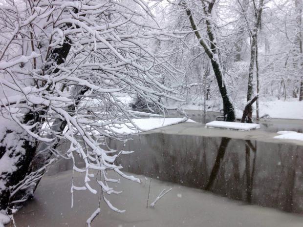
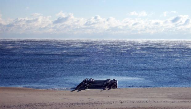
Sea smoke photo

The first month of 2015 was a cold one with above-average precipitation. The form of the precipitation varied quite a bit at any particular location as well as across the state over the course of individual events. The statewide average temperature of 27.7° was 3.5° below normal, making it the 32nd coldest January since records commenced in 1895. Precipitation (rain and melted snow) averaged 4.78", which is 1.30" above normal and ranks as the 20th wettest January. Statewide, snowfall averaged 8.6", which is 1.5" above normal and ranks as the 41st snowiest January of the past 121 years. Storms of various intensities arrived every three days throughout the month, and included an impactful freezing rain and flooding event and two moderate snowstorms during the final two weeks. Several bitter cold episodes were punctuated by strong winds and frigid wind chills.

Winter Weather Trends: El Niño in New Jersey

December 19, 2014 - 4:41pm -- Jack McCarty

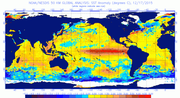
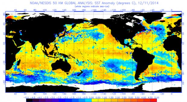
Global Sea Surface Temperature Anomalies

As we have mentioned in our past evaluations of the El Niño’s significance in the summer and fall, we are back again to analyze the wintertime impacts of a developing El Niño on New Jersey weather. An El Niño occurs when warmer-than-average waters exist in the central and eastern Pacific Ocean, specifically near the equatorial latitudes. This warming is due to a weakening of winds moving to the west, which typically transport warmer waters to the western Pacific, permitting cooler water to upwell to the surface in the east. When these winds are weaker or if they reverse direction, warm water stays in the east. The warmer sea surface temperatures in the east and the altered atmospheric flow pattern create a new dynamic between the ocean and atmosphere. The newly formed interaction sets up distinct and repetitive weather patterns across the world. No two El Niño events are alike; they vary depending on the magnitude and location of where the largest temperature anomalies are found. However, each one tends to alter weather patterns outside the overall norm.

Pages

Subscribe to RSS - Winter