Thunderstorms

It’s Not Easy Staying Green: August and Summer 2017 Summaries

September 7, 2017 - 4:49pm -- Dave Robinson

Tomatoes

Despite July and August typically being the wettest months of the year in New Jersey, their warmth usually results in evaporation rates exceeding rainfall. Thus, when heat ensues and rain is light for a few weeks—not uncommon in a Jersey summer—lawns, gardens, and fields require considerable irrigation to avoid wilting or browning. Such was not the case this past August and earlier in the summer, as rain was ample and quite timely in most areas and hot temperatures did not prevail for extended periods. More will be reported for the summer as a whole later in this report. For August in particular, the average of 5.06” of rain that fell across NJ was 0.96” above the 1981–2010 average. It ranked as the 41st wettest August since 1895 and the wettest since record wet conditions in 2011.

The average statewide August temperature of 71.7° was 1.3° cooler than the 1981–2010 average (tied with 1926, 1952, and 1985). It was 5.1° cooler than last year’s record warm August. Since 1895, there have been 57 cooler Augusts and 62 that were warmer, which reflects the fact that this year was only 0.2° cooler than the 1895–2017 average. Yes, Augusts have generally warmed in recent decades.

Rainfall Corridors: July 2017 Summary

August 4, 2017 - 4:20pm -- Dave Robinson

Valley fog photo

July 2017 proved to be an active month of weather throughout the Garden State. Time and time again, storms traversed the state, often depositing the heaviest rainfall in 30–40 mile west-to-east “corridors,” while elsewhere totals were much lighter. Such is the nature of showery summer rainfall, although in one case, the swath of heavy rainfall was associated with an out-of-season coastal storm. When all was said and done, rainfall occurred frequently enough to leave most locations with average to well above average monthly totals. The statewide average July rainfall was 6.33”. This is 1.76” above the 1981–2010 average and ranks as the 19th wettest July of the past 123 years. Last year with 6.97” (ranking 13th) and 2004 with 7.51” (ranking 8th) were the most recent Julys to be wetter than this year. The statewide average temperature of 75.5° was 0.9° above average. This ranks as the 22nd warmest July on record. There have been nine warmer Julys since 2002, including last year at 77.1° (ranking 7th).

Record Warmth Returns: April 2017 Recap

May 5, 2017 - 2:19pm -- Dave Robinson

Cherry blossom photo

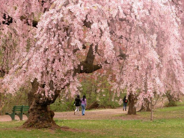
Following a March with the first substantially below-average monthly temperature anomaly in NJ in over a year, April brought a return to record warmth last seen in February. With a statewide average of 56.0°, the month was 5.1° above the 1981–2010 mean. This ranked as the warmest April since statewide records commenced in 1895. Five of the top 10 and nine of the top 20 mildest Aprils of the past 123 years have occurred since 2002. With the warmth of January, February, and April hardly balanced by the colder March, this year is off to the 4th warmest start on record. Only January–April averages in 2012, 1998, and 2002 were higher, and five of the eight mildest such intervals in the past 123 years have been since 2002. The 12-month period from May 2016 through April 2017 was the third warmest on record at 55.5°. It was only surpassed by May 2011–April 2012 (56.5°) and 2015–2016 (56.2°). Twelve of the 15 warmest such intervals of the past 123 years have occurred since 1999, the others being in 1931–1932 (#10), 1990–1991 (#11), and 1991–1992 (#14).

A Rather Average July, Believe It or Not: July 2014 Summary

August 4, 2014 - 6:26pm -- Dave Robinson

Thunderstorm photo

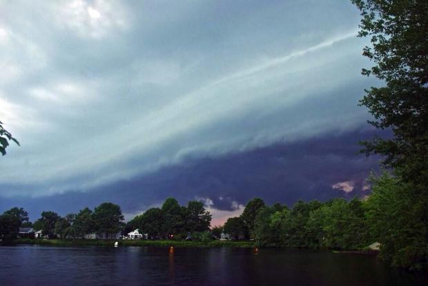
Despite a general feeling amongst NJ residents that July 2014 was a cold summer month, in actuality, compared to long-term records, it was rather average. The statewide average temperature of 74.5° was 0.5° below the 1981-2010 mean. However, it was 0.3° above the 1895-present mean and ranked as the 45th warmest July of the past 119 years. Even the number of afternoons with temperatures of 90° or higher was close to normal. So why the common misperception? Some armchair psychology brings me to four possibilities:

1) The first half of the month was above average, while the more recent weeks were on the cool side. Our perceptions are biased toward the most recent.

2) People have yet to “recover" from the cold start of 2014. The dubious media ramblings of the “polar vortex" returning to the eastern US in mid-July fueled these thoughts.

3) The most recent four NJ Julys all rank in the top six for warmth over the past 119 years. This was an amazing run of hot Julys.

4) Those sticking their toes in the Jersey surf in early July were shocked by water temperatures in the 50°s and may have equated this to the cool July atmosphere. The cold surf was actually indicative of persistent southerly winds that brought atmospheric warmth. This wind flow led to coastal upwelling that pushed warmer surface waters offshore and introduced cool deeper waters to the surf zone.

Subscribe to RSS - Thunderstorms