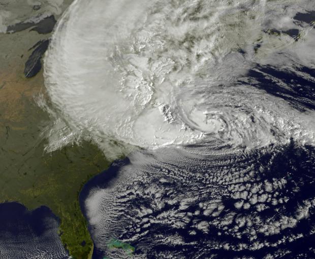
With the National Oceanic and Atmospheric Administration (NOAA) releasing its latest outlook expecting an above-normal Atlantic hurricane season and with Sandy and Irene fresh in our memories, NJ residents may wonder what's in store for this tropical season.
These outlooks are quite general but are based on some legitimate indicators. For example, there are those that correlate to an active season, such as warm sea surface temperatures or a wet west Africa, or the absence of things, such as shearing winds in the Atlantic from an El Nino event or dust in the atmosphere over the formative regions. More "suspect" are predictions of storm severity, though such numbers are just proportionately ramped up or down versus climatology based on the overall prediction. And of course, where the storms may develop and move is not something NOAA attempts to predict, at least not publicly. And with good reason, as the atmospheric steering currents vary from week to week, with no good means of predicting patterns well in advance.
So what might this mean for NJ? Studies have shown that more overall storms equals a greater chance for an impact here (which seems obvious, but it isn't as straightforward as some might think). We've already felt the effects of Andrea, which contributed to our record wettest June. Our look through the record book does not show three consecutive years with impactful (however that is defined!) storms striking NJ. However that certainly doesn't mean anyone should let down their guard.

