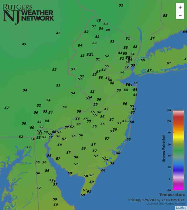
Latest Temperatures

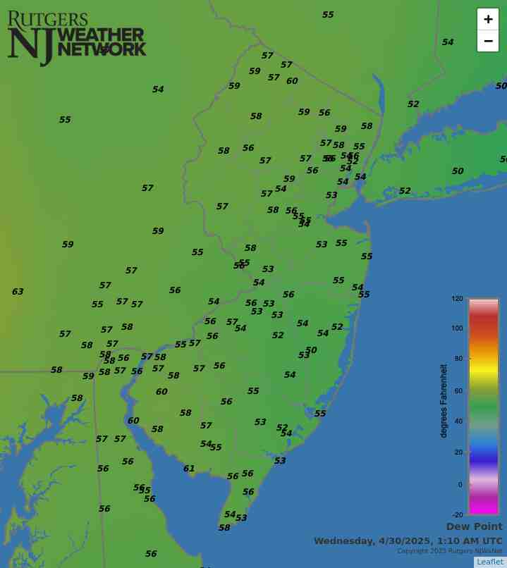
Current Dew Point

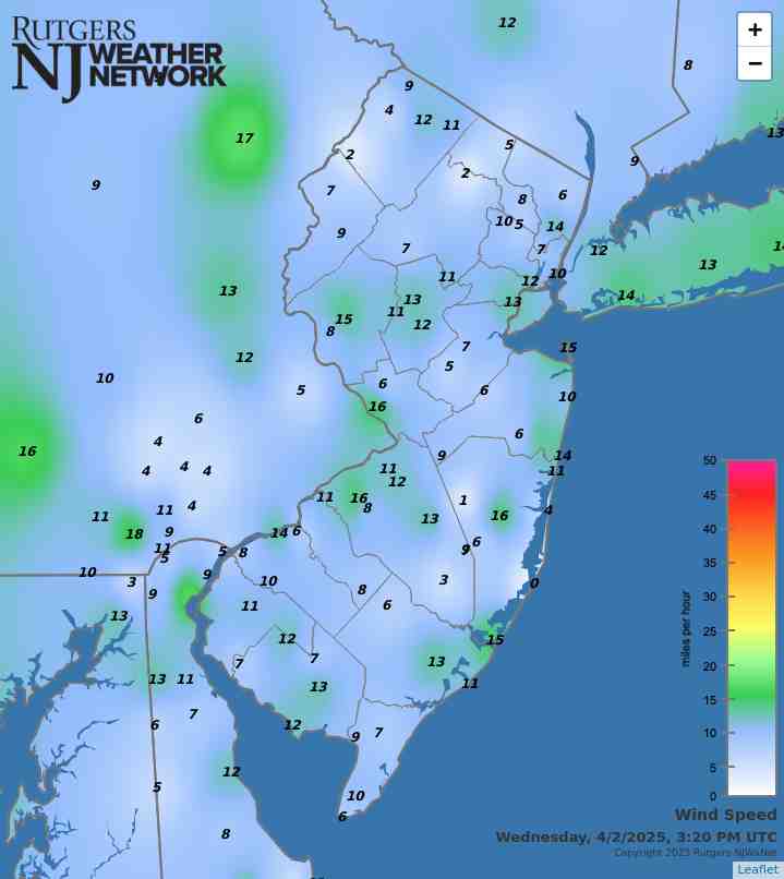
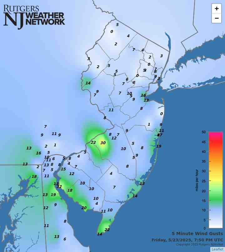
Latest Wind Speeds

Wind Gusts

Top Story

Photo of the Tour of Somerville bicycle race, held on the sunny and dry afternoon of May 26th.
The Tour of Somerville (Somerset County) was held on the sunny and dry afternoon of May 26th. The competition is the oldest bicycle race in North America, with top national, international, Olympic, and professional cyclists participating.

It took a frustratingly long time for the cool season “recharge” of New Jersey’s water resources to get well underway. Following a record dry fall 2024, December through April precipitation remained below normal, including the third driest January of the past 131 years. However, February, March, and April precipitation totals were only a bit below normal, so while precipitation deficits were not recovering, they did not worsen, and reservoirs began to fill. Then along came May, with near record-high precipitation, just in time to bring most water resources up to normal heading into summer. Yes, quite a relief! The only cautionary note regards groundwater deficits that remain at some locations in the sandy substrate of south Jersey. This impacts local streamflow as well once runoff from any recent rains has diminished, leaving the streams fed by depleted spring waters. Thus, the NJ Department of Environmental Protection has not lifted the drought warning that was established in mid-November 2024.

As for May, the statewide average precipitation was 7.27”. This was 3.52” above the 1991–2020 normal and ranks as the 5th wettest May since statewide records became established in 1895. It is the wettest May since 1990, and the fifth May this century to fall into the top 25 (three have been in the driest 25).

May temperatures exhibited some notable swings, with the end of the month’s below-normal conditions just about balancing out the above-normal start. The statewide average of 62.0° was 0.8° above normal and ranks as the 30th mildest of the past 131 years. The statewide average high temperature was 71.5°, which was 0.8° below normal and ranked as the 65th warmest/66th coolest on record. Meanwhile, the 52.5° average low was 2.3° above normal, ranking as the 12th mildest. This sign disparity is the result of the frequent cloudy and wet conditions that suppressed both daytime warmth and nighttime cooling.

Latest Extremes

City, State Temp
Fortescue, NJ 71
Cape May Court House, NJ 69
Lower Alloways Creek, NJ 69
Vineland, NJ 69
Mannington Twp., NJ 69
City, State Temp
High Point Monument, NJ 55
Vernon Twp., NJ 57
Hackettstown, NJ 57
Wantage, NJ 58
Chester Borough, NJ 59
most current information as of Jun 14 7:50 AM

Latest Conditions & Forecast

New Brunswick, NJ

Rutgers University Meteorology Program

63°F

Wind

6 mph from the NNE

Wind Gust

8 mph from the NE

Showers Likely
67 °F
Showers Likely
57 °F
Chance Showers
67 °F
Chance Showers
59 °F
Chance Showers
70 °F
Mostly Cloudy
61 °F
Mostly Cloudy
76 °F
Mostly Cloudy
64 °F
Mostly Cloudy then Chance Showers
84 °F
Chance Showers then Partly Cloudy
69 °F
Mostly Sunny then Chance Showers
91 °F
Chance Showers
68 °F
Sunny
86 °F

Today

Showers and thunderstorms likely before 2pm, then showers likely and possibly a thunderstorm between 2pm and 4pm, then a chance of showers and thunderstorms after 4pm. Cloudy, with a high near 67. Northeast wind 5 to 10 mph. Chance of precipitation is 70%. New rainfall amounts between a tenth and quarter of an inch, except higher amounts possible in thunderstorms.

Tonight

Showers likely, mainly before 9pm. Cloudy, with a low around 57. East wind around 5 mph. Chance of precipitation is 60%. New precipitation amounts of less than a tenth of an inch possible.

Sunday

A chance of showers. Cloudy, with a high near 67. Northeast wind around 5 mph. Chance of precipitation is 40%. New precipitation amounts of less than a tenth of an inch possible.

Sunday Night

A chance of showers, mainly after 2am. Cloudy, with a low around 59. East wind around 5 mph. Chance of precipitation is 30%. New precipitation amounts of less than a tenth of an inch possible.

Monday

A chance of showers, mainly before 8am. Cloudy, with a high near 70. East wind around 5 mph. Chance of precipitation is 30%.

Monday Night

Mostly cloudy, with a low around 61.

Tuesday

Mostly cloudy, with a high near 76.

Tuesday Night

Mostly cloudy, with a low around 64.

Wednesday

A chance of showers after 2pm. Mostly cloudy, with a high near 84. Chance of precipitation is 30%.

Wednesday Night

A chance of showers before 8pm. Partly cloudy, with a low around 69. Chance of precipitation is 30%.

Juneteenth

A chance of showers. Mostly sunny, with a high near 91. Chance of precipitation is 50%.

Thursday Night

A chance of showers. Partly cloudy, with a low around 68. Chance of precipitation is 30%.

Friday

Sunny, with a high near 86.

Search by zipcode or city/state for the latest conditions, forecasts, graphs, maps and more nearest to you.

More News

Firefighters battle the Jones Road Wildfire in Ocean County (photo courtesy of the New Jersey Department of Environmental Protection).

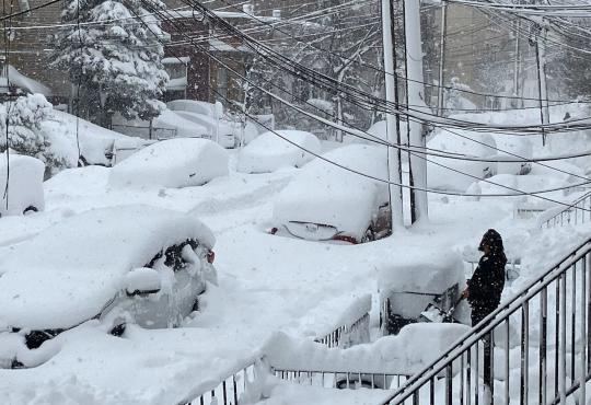
If it is weather variety you enjoy, April certainly must have proved rather satisfying. Atmospherically, this was expressed by a cool, wet first half of the month and a warm, dry second half. When all was totaled and averaged, the full month emerged with above-normal temperatures and close-to-normal precipitation. Toss in one northern snow event, considerable wind, lingering drought in some areas, and a major Pinelands wildfire, and there was quite a potpourri of conditions. Looking first at precipitation, the statewide average of rain and melted snowfall was 3.72”. This was 0.02” above...

A Robin signals the arrival of spring in Hawthorne (Passaic County) on March 20th. Photo by Judy Kopitar.

Some Marches in past years have kept you guessing when, sometimes even if, spring will arrive. That certainly was not the case this year, nor, for that matter, has it been much so in recent years. With a statewide ranking of tenth warmest, March 2025 was the fourth of the past ten years to rank in the top ten. Eight of the sixteen mildest Marches in the past 131 years have occurred since 2000. Not even a late-season snow event occurred to temporarily stifle spring fever, as no measurable snow was observed anywhere in the state. Spring showers arrived and were plentiful enough to approach...

A blowout tide caused by strong westerly winds on February 18th in Brick Township (Ocean County).

Upon updating a weather friend regarding February conditions that transpired while they were away from the region, he remarked that most of what I reported appeared to have been more along the line of nuisances, while nothing of a blockbuster status occurred. I agreed, as while there were a few plowable events, one soaker (freezing rain at higher elevations), some cold and mild days, and (like in January) quite a few windy days, precipitation and temperatures came in close to normal and not much occurred that will leave lasting memories. In many respects, this applies to the entire winter...

More News

A Mild Start to the Year, Despite One Frigid Week: January 2013 Report

February 13, 2013 - 4:16pm -- Dave Robinson

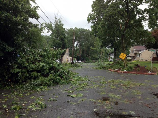
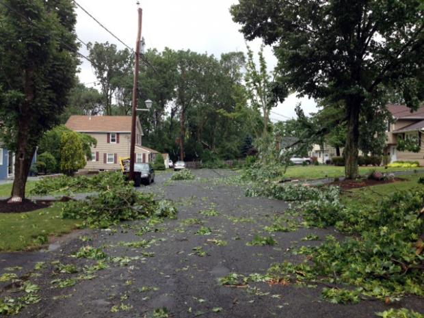
Highway sign knocked over by the wind

By mid-winter standards, January 2013 was not an exceedingly memorable one in the New Jersey weather and climate annals. But like every month, there were certainly events worthy of mention. This included the state's coldest week since 2007 and a surge of warmth late in the month that was broken by a squall line with strong winds and heavy rain.

Statewide, the January temperature averaged 33.7°, which is 2.5° above average. This ranks as the 27th mildest January since 1895 (119 years). Of the past 24 months, only one (November 2012) has averaged below normal. Going back a bit further, since March 2010, 30 of the past 35 months have been above average, one month was exactly average, and four months were below average.

The first three weeks of the month were mostly on the mild side. On five of the first 20 days, one or more station topped out at 55° or higher.

Sandy Strikes: October 2012 Report

November 9, 2012 - 3:47pm -- Dave Robinson

Hurricane Sandy satellite image

Sandy, a category 1 hurricane as it approached the New Jersey coast during the daytime hours of the 29th and a post-tropical cyclone as it came ashore near Atlantic City (Atlantic County) that evening, dealt the state a punishing blow. It brought hurricane-force wind gusts to coastal and inland sections, close to a foot of rain in the far south, a state record low barometric pressure, and a record storm surge along the coast and in adjacent water bodies. Additional
information on Sandy can be found later in this report, and a more complete analysis will be provided on an upcoming website from the state climate office.

Statewide, the month averaged 57.1°, which is 2.3° above average. This ranks as the 20th warmest October since statewide records commenced in 1895. It marks the 21st consecutive month with temperatures equal to (June 2012) or warmer than (all other months since February 2011) average. The first ten months of this year have averaged 58.9°, or 3.1° above the 1981-2010 average. This keeps 2012 on pace to be the Garden State's warmest year on record (Table 1).

Pages

Subscribe to Front page feed